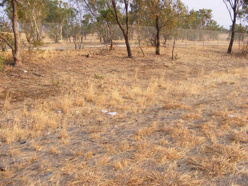
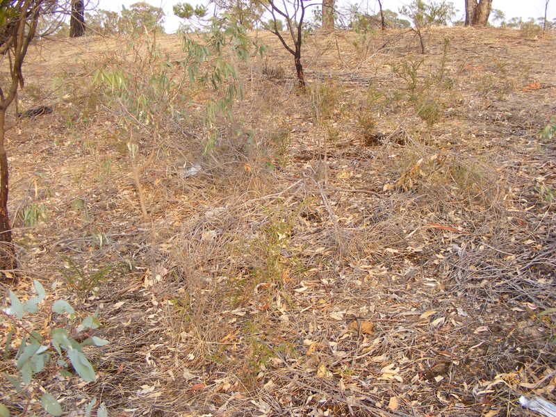
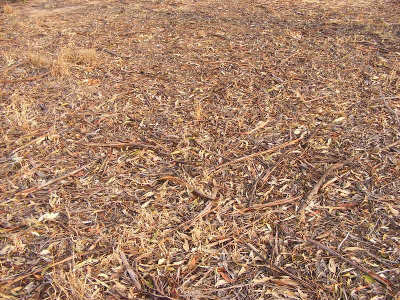
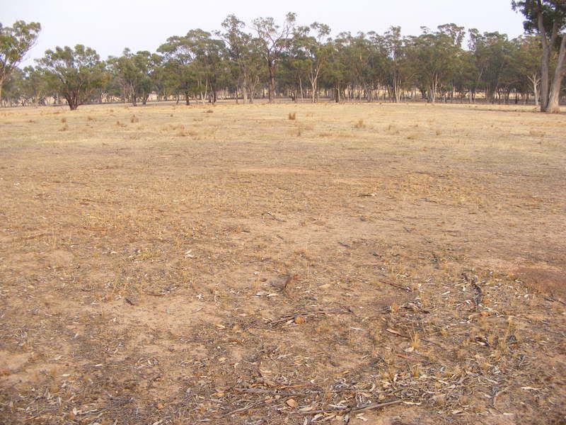
I went through Victoria last weekend and while I did avoid my usual route which would have taken me right through the middle of the burnt zone I did go through some burnt area along the Hume Highway to the North of Melbourne. I didn't take any photos of the burnt area (just didn't feel right) but took some up the road and the following I think are pretty instructive:


The above images are fairly typical of what the ground around the Broadford area would have been like prior to the fires, what the photos show are the relatively low amount of fuel available to burn and the very dry conditions prevailing at the time. Under normal circumstances a fire in this fuel load is fairly easy to suppress, reading the burnt out area showed the conditions were far from normal. The low level of ash in some areas indicated the grass had been eaten to ground level but still burnt out, many of the trees and shrubs along the freeway show scorch to only around 30-50 cm and the tops of many low shrubs (1-2m) didn't burn indicating a very fast moving fire running along the ground for most part pushed along by high winds. Firebreaks (such as the highway) were ineffective, fuel level was already quite low and it would have been absolutely horrendous to be there trying to control it.
When we hear calls for more fuel reduction in this case certainly we need to ask just how much more could it possibly be reduced? There is a role for hazard reduction (and ecological) burns and under normal circumstances they are quite effective (and as someone who has had around 20 years of bushfirefighting experience I do know a little about it) but under extreme circumstances they're often little but a momentary lull.
No comments:
Post a Comment